
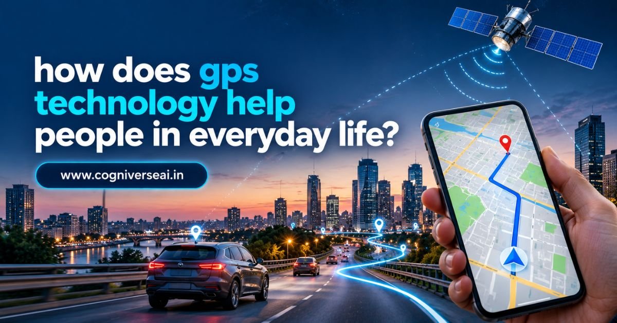
GPS has become a normal part of modern life. People use it through smartphones, cars, smartwatches, fitness trackers, delivery apps, travel services, and many other connected devices. In many cases, people use GPS without even thinking about the technology working in the background.
So, how does GPS technology help people in everyday life? GPS helps people find their location, get directions, estimate travel routes, track movement, locate places and services, and coordinate activities more easily and accurately. It is especially useful for navigation, transportation, fitness, emergency response, delivery services, and finding nearby places.
GPS stands for Global Positioning System. It is a satellite-based positioning system that allows compatible devices to estimate their position on Earth. Your phone or other device uses signals from GPS satellites, along with software and other information, to determine where you are and support location-based services.
GPS does much more than simply show a blue dot on a map. It has become an important part of how people travel, work, exercise, communicate, and manage daily activities.
What Is GPS Technology?
GPS is a satellite-based navigation system that provides positioning, navigation, and timing information.
The system uses satellites orbiting Earth. A GPS receiver in a device, such as a smartphone or car navigation system, receives signals from multiple satellites and uses the timing information in those signals to estimate its location.
A smartphone can then combine that location information with digital maps and other software to provide useful services.
For example, when you open a navigation app, GPS helps the app determine your approximate position. The application can then use that position to show nearby roads, calculate routes, estimate travel time, and provide turn-by-turn directions.
This is why GPS and mapping applications are so closely connected in everyday life.
Also read: What Should You Do If AI Gives You An Answer That Seems Incorrect Or Biased?
How Does GPS Work in Simple Terms?
The basic idea is easier than it may sound.
GPS satellites continuously transmit signals containing timing and positioning information. A receiver calculates how long the signals took to arrive and uses signals from several satellites to estimate its position.
In simple terms:
Satellites send signals → Your device receives them → The device calculates its position → An app uses that position for a useful service.
A receiver generally needs signals from multiple satellites to calculate a full position. The more useful signals a device receives, the better it can usually estimate its location, although real-world accuracy can be affected by buildings, terrain, interference, atmospheric conditions, device quality, and other factors.
Your phone may also combine GPS with other positioning technologies, such as Wi-Fi and mobile networks, to improve the overall location experience.
How Does GPS Technology Help People in Everyday Life?
The biggest everyday benefit of GPS is that it turns location information into practical services.
People can use GPS to answer questions such as:
Where am I?
How do I get there?
What is nearby?
How long will the journey take?
Where is my package?
Where did I exercise?
Where is the vehicle I am using?
These simple questions explain why GPS has become so useful.
GPS Makes Navigation Easier
Navigation is probably the most familiar everyday use of GPS.
Before smartphones became common, travelers often depended on printed maps, road signs, or local directions. GPS-based navigation changed this by allowing devices to provide live location information and route guidance.
For example, when driving to an unfamiliar location, GPS can help you:
- Find your current position
- Calculate a route
- Receive turn-by-turn directions
- Estimate arrival time
- Identify nearby roads and places
- Recalculate a route when you leave the planned path
This is especially helpful when traveling in unfamiliar cities or regions.
Walking and Cycling Navigation?
GPS is not limited to cars.
Walking applications can use location data to guide pedestrians. Cyclists can use GPS devices to plan routes, follow trails, and record rides.
A hiker may also use a GPS-enabled device to understand their position on a trail and track their route.
This makes GPS useful for both everyday travel and outdoor activities.
GPS Helps People Find Nearby Places
Location-based services use GPS to help people discover businesses and services close to them.
A person may search for:
- Restaurants
- Petrol stations
- Pharmacies
- Hospitals
- Hotels
- ATMs
- Grocery stores
- Parking areas
- Tourist attractions
The device’s location helps the application identify what is nearby.
For example, when someone searches for a restaurant near their current position, the app can use location data to narrow down the results.
This saves time and makes local search more practical.
GPS Helps With Ride-Hailing and Transportation
Ride-hailing and transportation applications depend heavily on location technology.
When someone books a ride, GPS can help the application determine:
- Where the passenger is
- Where the driver is
- The route between locations
- The estimated arrival time
- The vehicle’s movement during the journey
The passenger can watch the driver’s location on a map instead of waiting without knowing where the vehicle is.
GPS can also help public transportation systems track vehicles and provide location-based arrival information.
This improves visibility for both passengers and transportation operators.
GPS Supports Delivery and Logistics
GPS is also an important part of modern delivery services.
When an order is being transported, location information can help businesses track vehicles and manage routes.
For example, a delivery company may use GPS to:
- Monitor vehicle locations
- Plan routes
- Track deliveries
- Estimate arrival times
- Identify delays
- Improve fleet management
Customers may also receive location-based updates about their delivery.
The same basic technology can support everything from food delivery to large logistics operations.
GPS Helps Emergency Services
GPS can be especially valuable during emergencies.
When emergency teams know the location of a person, vehicle, or incident, they can respond more effectively.
Location information may support:
- Emergency response
- Search and rescue
- Ambulance services
- Fire response
- Disaster management
- Location sharing during urgent situations
For example, a person who is lost or unable to describe their exact location may be able to share their device’s location with someone helping them.
However, people should not assume that GPS location sharing always works perfectly. Signal conditions, device settings, network availability, battery life, and the specific application can all affect the experience.
GPS Helps People Track Fitness and Exercise
Fitness technology is another major everyday use of GPS.
Smartwatches and fitness trackers can use GPS to record outdoor activities such as:
- Running
- Walking
- Cycling
- Hiking
- Swimming in some supported situations
- Outdoor sports
A runner can use GPS to estimate distance, track the route, and review the pace of a workout.
Cyclists can map their ride and compare routes over time.
This information can help users understand their activity and monitor progress.
It is important to remember that measurements such as distance and pace are estimates and can vary depending on the device and environment.
GPS Helps People Find Lost or Misplaced Devices
Many modern devices can use location services to help users locate them.
For example, a person may use a device-finding service to see the last known or current location of a smartphone, tablet, watch, or another supported device.
This can be useful when a device is lost in a house, office, vehicle, or public place.
Some tracking services use GPS together with Wi-Fi, mobile networks, Bluetooth, or other technologies rather than relying on GPS alone.
GPS Supports Travel and Tourism
Travelers often depend on location services when visiting unfamiliar places.
GPS can help with:
- Finding hotels
- Navigating airports
- Exploring attractions
- Following driving routes
- Planning day trips
- Finding nearby services
- Sharing locations with travel companions
A visitor in a new city may use a map application to walk from a hotel to a museum without needing to know the local road system.
This reduces some of the stress of traveling in unfamiliar areas.
GPS Helps Parents and Families Coordinate
Location-sharing tools can help family members coordinate where they are.
For example, family members may share locations when:
- Meeting at a busy place
- Picking someone up
- Traveling together
- Finding each other at an event
- Checking where a vehicle is
These features should always be used with appropriate privacy and consent, especially when tracking another person.
Location data can be sensitive because it may reveal regular routines, workplaces, homes, and frequently visited places.
GPS Supports Smartwatches and Connected Devices
GPS is no longer limited to smartphones and car systems.
It is built into or supported by many connected devices, including:
- Smartwatches
- Fitness trackers
- Vehicle systems
- Drones
- Outdoor navigation devices
- Asset-tracking systems
- Some cameras and other smart devices
This allows location information to become part of many different applications.
For example, a smartwatch can record a running route without requiring the user to carry a phone during the activity, depending on the watch and its configuration.
GPS Helps Agriculture and Farming
GPS also has uses beyond ordinary consumer technology.
Modern farming can use satellite positioning for tasks such as route guidance, field mapping, equipment positioning, and precision agriculture.
A farm vehicle can use location information to follow planned routes and support more precise field operations.
This can help farmers manage large areas more efficiently.
The technology may also work alongside other systems, including mapping, sensors, and agricultural software.
GPS Helps With Time and Synchronization
GPS is not only about location.
The system also provides highly accurate timing information that can support systems that need synchronized time.
Timing applications can be important in areas such as telecommunications, transportation, scientific systems, and other technical infrastructure.
Most people do not notice this use in everyday life, but accurate timing is one of the broader capabilities associated with satellite navigation systems.
Why GPS Is Useful Even When You Know Where You Are
A common question is why people need GPS if they already know their location.
The answer is that GPS does more than tell you where you are.
It helps connect location with other information.
For example, knowing that you are in a particular city is useful. Knowing exactly where you are and how to reach a nearby destination is much more useful.
The combination of:
Location + Maps + Routes + Real-Time Information
creates the practical experience people now expect from navigation and location-based applications.
Does GPS Work Everywhere?
GPS can work in many places, but it is not equally reliable under all conditions.
Performance can be affected by:
- Tall buildings
- Deep indoor locations
- Tunnels
- Dense forests
- Mountains
- Signal interference
- Device limitations
- Poor satellite visibility
This is one reason smartphones often combine multiple sources of location information.
It is also why a map application may sometimes show a location that is slightly different from your actual position.
Users should treat GPS as a highly useful positioning technology, not as an infallible measurement.
Is GPS the Same as Google Maps?
No.
GPS and Google Maps are related, but they are not the same thing.
GPS is a satellite-based positioning system.
Google Maps is a mapping and navigation service that can use GPS and other location technologies.
The distinction is important because many location applications rely on several technologies at once.
A navigation app may use GPS to estimate position and digital maps to understand roads and destinations.
Privacy Risks of Everyday GPS Use
GPS provides convenience, but location information can also be sensitive.
A location history can reveal patterns about a person’s movements and routines.
For this reason, people should pay attention to:
- Which apps have location permission
- Whether location is needed all the time
- What location information is stored
- Which services can access it
- Whether location sharing is turned on
- How long location data is retained
It can be useful to review location permissions regularly and give apps only the access they need.
Convenience and privacy should be considered together.
How GPS Supports Modern AI and Smart Technology?
GPS can also provide location information to systems that use data analysis and artificial intelligence.
For example, location data may be used alongside other information for:
- Traffic analysis
- Route optimization
- Fleet management
- Location-based recommendations
- Predictive maintenance
- Delivery planning
- Geographic data analysis
AI does not replace GPS. Instead, AI can use location data as one input when analyzing patterns and making predictions.
This shows how GPS has become part of a broader technology ecosystem rather than existing as an isolated system.
The Main Benefits of GPS in Everyday Life
The everyday value of GPS can be summarized in a few key areas.
Convenience
It reduces the need to rely on paper maps or remember complex routes.
Better Navigation
It helps people find destinations and follow routes.
Time Savings
Route and travel information can help people plan journeys more efficiently.
Location Awareness
People can know where they are and share that information when needed.
Safety
Location information can support emergency response and help people find their way.
Better Services
Delivery, transportation, travel, and local-search applications can use location information to provide more useful services.
Also read: What Is the Purpose of the Community Safety Education Act?
Conclusion
So, how does GPS technology help people in everyday life? GPS helps people determine their location, navigate unfamiliar places, find nearby services, track journeys, monitor exercise, support deliveries, coordinate transportation, assist emergency services, and use many location-based digital services.
What makes GPS especially useful is not just the ability to determine a position. Its real value comes from connecting that position with digital maps, transportation systems, fitness tools, delivery platforms, emergency services, and other applications.
People often use GPS without thinking about it. When a navigation app guides a driver, a smartwatch records a run, a delivery service tracks a package, or a person shares their location with family, GPS may be part of the technology behind the experience.
At the same time, GPS is not perfect. Accuracy can vary depending on the environment and device, and location information can raise important privacy concerns.
The key idea is simple: GPS turns satellite-based positioning into practical location information that helps people move, plan, find, track, and coordinate more easily in everyday life.
Frequently Asked Questions
1. How does GPS help us in daily life?
GPS helps with navigation, location sharing, finding nearby places, fitness tracking, deliveries, transportation, travel, and emergency services.
2. What is GPS mainly used for?
GPS is mainly used to provide positioning, navigation, and accurate timing information for devices and services.
3. Does GPS need the internet to work?
GPS itself uses satellite signals, so a device can receive GPS signals without mobile internet. However, some map and location services need internet data.
4. Is GPS always accurate?
No. Accuracy can be affected by buildings, mountains, indoor locations, interference, device quality, and other environmental conditions.
5. Is GPS technology used with smartphones?
Yes. Smartphones commonly use GPS along with other technologies such as Wi-Fi and mobile networks to provide location services.
1 thought on “How Does GPS Technology Help People In Everyday Life?”